|
Where
is
Suckley
?
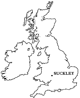
Suckley is a medium-sized village on the Worcestershire/Herefordshire borders,
in the middle of England. The estimated population is between 1000 and 1500.
The UK Ordnance Survey grid reference for
Suckley Church (which is at the
centre of the village) is SO 722 517.
The village is located 30 miles south of Birmingham, and, more locally,
8 miles from Worcester, 6 miles from Malvern and 4 miles from Bromyard.
|
|
The parish of Suckley consists of the following areas :
| Birchwood Lane (part, including Bell's Bank) |
Blackhouse Lane |
Church Lane (including Lower Court) |
| Crews Hill (part) |
Down's Bridge |
Green Hill |
| Hall House |
Suckley Knowle |
Longley Green (including Batchelors Bridge) |
| Lower Barrow |
Lower House |
Lower Tundridge |
| Mosewick |
Damson Way (previously known as New Road) and Woodland Road |
Red Castle |
| Rough Leasow |
Scotts Lane (also known as Bushbank) |
Sindons Mill |
| Stocks Crossroads |
Suckley Court |
Suckley Green (also known as Woodstock Green) |
| Suckley Row |
The Barrow |
Upper House |
| Upper Tundridge |
Whitehouse Court |
Whitehouse Crossroads |
For further details, please refer to the
UK Ordnance Survey
Bromyard - Pathfinder 995 map.
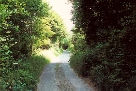
Blackhouse Lane
The place name Suckley has two possible meanings:
- Succa's Clearing
- The Clearing where the birds sang
Suckley appears as a surname in the USA. Mr. T.E. Suckley
of Linfield, USA, made a visit to Suckley in the 1970s in an unsuccessful
attempt to find a connection between his family and the village.
Try an
internet search for Suckley - it's likely to
produce any number of references from Australia, the USA and the UK.
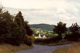
Suckley's main road(!) with
Bearswood Common in the distance.
SUCKLEY:
home
contact
what's on
what's new
facilities
business
history
music
links